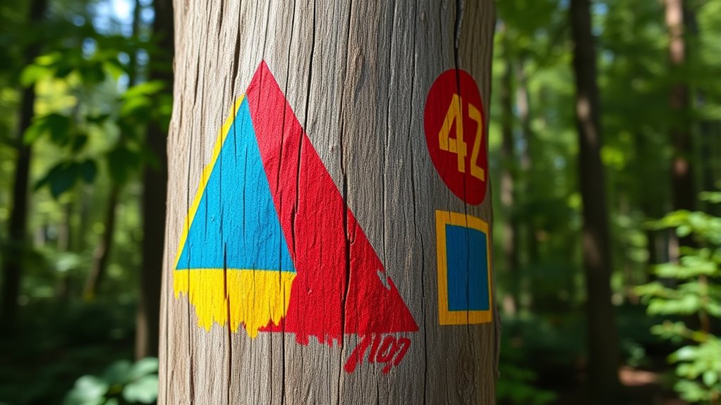
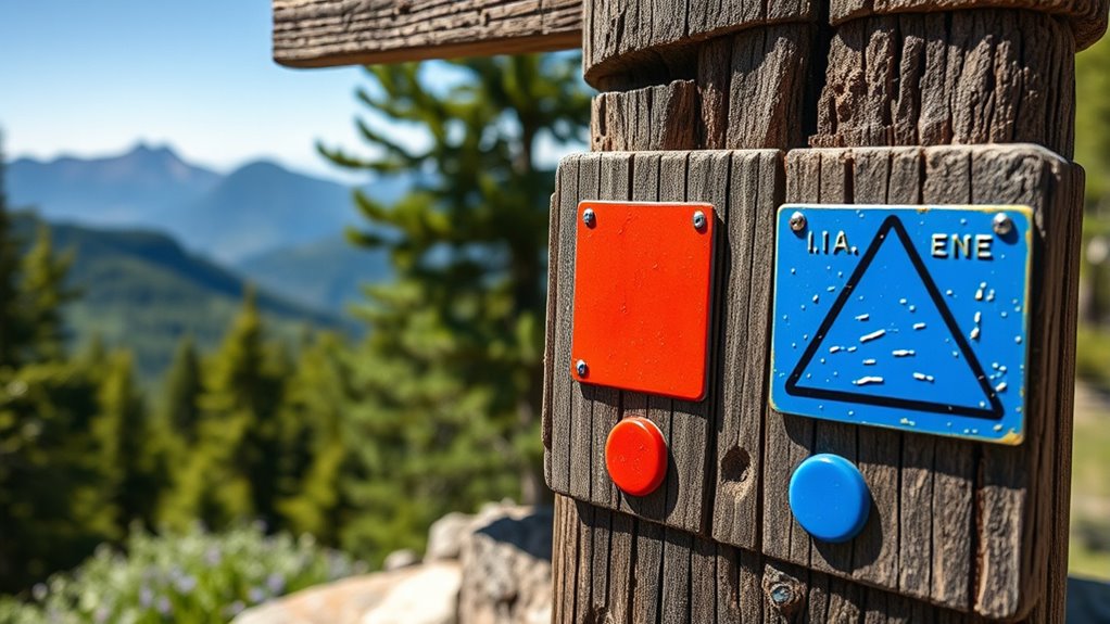
Many trail marking legends are misunderstood because symbols, colors, and shapes vary by region and trail system. Relying on common assumptions can lead you off course or into dangerous areas. Remember, markings often aren’t standardized, so it’s essential to understand local legends and combine this knowledge with navigation skills like using a compass or map. If you want to navigate confidently and stay safe, learn how to decode trail markings properly—you’re about to discover more.
Key Takeaways
- Trail marking legends vary widely by region and trail type, making assumptions about universal meanings risky.
- Relying solely on markings without proper navigation tools can lead to misinterpretation and safety hazards.
- Symbols, colors, and shapes often differ between areas, so understanding local legends is essential for correct decoding.
- Common myths assume trail markings are standardized, but they frequently vary, requiring area-specific knowledge.
- Combining trail markings with compass, map, or GPS enhances accuracy and helps prevent navigation errors.

Many hikers believe they know everything about trail marking, but several common myths can lead to confusion and even danger on the trail. One such myth is that all trail markings follow universally understood conventions. In reality, trail marking legends vary widely depending on the region, the type of trail, and the organization responsible for maintaining it. This means that relying solely on familiar symbols or colors without understanding local legends can cause you to misinterpret your route. Some markings might use colors to indicate difficulty levels, while others could signify specific directions or warnings. Without knowing the proper legend, you might think a blaze indicates a safe shortcut when it actually marks a dangerous section.
Navigation techniques are often thought to be straightforward when following trail markings, but many assume that the markings alone are enough for safe navigation. That’s a dangerous misconception. Trail markings are meant to complement your navigation skills, not replace them. Relying solely on painted blazes, cairns, or signs without using a compass, map, or GPS can leave you vulnerable if markings are faded, obscured, or incorrect. For example, a trail might have a series of painted shapes or colors that you believe guide you correctly, but if you don’t understand the legend behind those markings, you could veer off course. The key is to understand the navigation techniques that work alongside trail markings—like checking your compass regularly, confirming your position with a topographical map, or using digital tools to supplement what you see on the trail. Additionally, understanding local trail legends can prevent misinterpretations and ensure you follow the intended route accurately.
Many hikers also buy into the myth that trail marking symbols are always consistent across different regions or trail networks. This isn’t true. Trail marking legends can differ markedly, even within the same country, depending on whether you’re in a national park, wilderness area, or local reserve. It’s essential to research the specific legends used in your area before heading out. Knowing whether a certain color or shape indicates a loop, a junction, or a hazard can make all the difference in your navigation. Misinterpreting these symbols can lead you to take the wrong fork or miss critical route changes, turning a simple hike into a risky mistake.
In the end, understanding the true meaning behind trail marking legends and sharpening your navigation techniques will keep you safe and confident on your hikes. Don’t assume that a trail’s markings tell the whole story. Take the time to learn what each symbol, color, and shape truly means, and always carry reliable navigation tools. This way, you can decode trail markings accurately and avoid the myths that could trip you up in the wild.
Frequently Asked Questions
How Do Trail Markings Vary Internationally?
You’ll notice that trail markings vary internationally due to different trail marking standards and signage practices. Some countries use color codes, shapes, or numbers uniquely, which can confuse travelers unfamiliar with local conventions. Recognizing international signage variations helps you navigate safely. Always check for local trail marking standards before setting out, and carry a map or guide to avoid misinterpretation of trail markers across different regions.
Are There Specific Symbols for Emergency Routes?
Imagine a secret code woven into the wilderness, guiding you safely through unseen dangers. Trail marking symbols often include bold, universal emergency signage—like bright red or orange markers—to catch your eye. These symbols are designed to stand out, signaling escape routes or hazard zones. By recognizing these specific symbols for emergency routes, you can navigate confidently, knowing that the trail’s signage is speaking directly to your safety in times of need.
Can Trail Marking Colors Indicate Trail Difficulty?
Trail marking colors often indicate trail difficulty, according to trail marking standards and color coding systems. For example, green usually means easy, blue indicates moderate, and black signifies challenging terrain. You should pay attention to these color codes to evaluate your skill level and prepare accordingly. Keep in mind that these standards help guarantee safety and consistency across different trails, making your outdoor experience more enjoyable and less risky.
What Should I Do if Markings Are Faded or Unclear?
Did you know that nearly 60% of hikers get lost due to unclear trail markers? If markings are faded or unclear, you should prioritize safety. Check for recent trail marker maintenance reports or use your phone’s GPS for navigation. Try visibility enhancement techniques, like shining a light or using a mirror to reflect sunlight. If you feel unsure, it’s best to backtrack to a known point or seek help to avoid getting lost.
Are Digital or Electronic Trail Markers Used?
You might wonder if digital or electronic trail markers are used today. Yes, digital signage and electronic navigation systems are increasingly common, especially in popular or complex trail networks. They provide real-time updates, interactive maps, and clearer guidance. These electronic markers complement traditional trail markings, improving safety and navigation accuracy. So, when trails are tricky or unclear, digital signage can be a helpful resource to guarantee you stay on the right path.
Conclusion
Now that you understand the true meanings behind trail markers, you hold the map to safe adventures. Think of colors, shapes, and numbers as guiding stars, illuminating your path through the wilderness. Don’t let misconceptions cloud your journey—trust the symbols as your compass. With this knowledge, you’re ready to navigate confidently, turning every trail into a story of discovery. Embrace the symbols, and let them lead you to new horizons beyond the myths.


